News Summary
A new study warns of a potential major earthquake along the Cascadia Subduction Zone, raising concerns about severe flooding and infrastructure damage across the Pacific Northwest. The research highlights a projected 15% chance of an 8.0+ magnitude quake in the next 50 years, with catastrophic implications for over 20,000 residents and critical infrastructure. As climate change exacerbates the situation with rising sea levels, preparation for this inevitable threat becomes paramount.
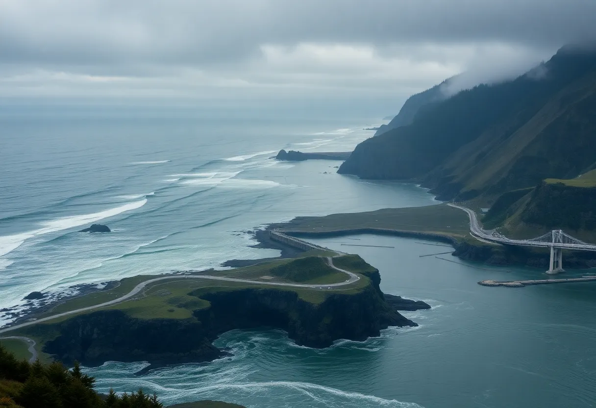
Oregon – A recent study has raised alarms about a potential major earthquake occurring along the Cascadia Subduction Zone, a significant fault line stretching 600 miles off the Pacific Coast. This region is considered a seismic hotspot, which poses risks of coastline subsidence and catastrophic flooding affecting both communities and infrastructure from Northern California to Vancouver, Canada.
The study, published in the Proceedings of the National Academy of Sciences, emphasizes the dangers associated with the anticipated earthquake, which could cause some areas to drop by more than 6 feet. Should this occur, an estimated 22,000 additional residents could find themselves in flood-prone areas, with the number of at-risk structures increasing from 13,000 to 36,000. The projected expansion of land at risk of flooding is estimated to be around 116 square miles, equivalent to the size of five Manhattans.
The likelihood of a major earthquake occurring in the Cascadia Zone, with a magnitude of 8.0 or higher, is currently estimated at 15% over the next 50 years. This probability could rise significantly for the southern segment of the fault, with scientists projecting odds as high as 37-42% within the same timeframe. The anticipated quake could produce tsunami waves reaching heights of 100 feet, posing further risks to coastal communities.
The repercussions of such an earthquake would severely impact essential infrastructure, necessitating the reconstruction of vital services, including bridges, power lines, and water treatment facilities. Towns along the coast, such as Seaside, Oregon and Westport, Washington, may be faced with flooding events every 100 years following the quake. Additionally, exposure to risk would extend to highways and airports, putting critical transportation and operational systems at jeopardy.
Research into historical events indicates that the last major earthquake in the Cascadia Subduction Zone occurred in 1700, resulting in significant alterations to the coastline, including subsidence and widespread destruction. Geological evidence from past quakes shows that coastal forests and entire villages have sunk into the ocean almost instantaneously. Current studies of land uplift in parts of the Pacific Northwest indicate that potential subsidence during a major earthquake could completely offset these uplifting trends.
Climate change is also a factor compounding these risks. Global sea levels have risen by approximately 8 to 9 inches since 1880, with predictions of an additional increase of 10 to 12 inches by mid-century. This ongoing rise may heighten flood risks in the wake of an earthquake, further threatening the viability of many coastal areas. The long-term implications could render affected regions uninhabitable, leaving significant portions of the Pacific Northwest vulnerable to permanent changes.
In summary, the odds of a catastrophic earthquake along the Cascadia Subduction Zone are substantial, with potentially devastating consequences for over 20,000 residents and critical infrastructure across the Pacific Northwest. As the likelihood of such events increases, preparing for both the immediate and long-term effects will be crucial for safeguarding communities and ecosystems in the region.
Deeper Dive: News & Info About This Topic
- NBC News
- Wikipedia: Cascadia Subduction Zone
- AOL
- Google Search: Cascadia Subduction Zone
- SFGate
- Google Scholar: Cascadia Subduction Zone
- Scientific American
- Encyclopedia Britannica: Cascadia earthquake
- New York Post
- Google News: Cascadia earthquake

Author: STAFF HERE CORONADO
The Coronado Staff Writer represents the experienced team at HERECoronado.com, your go-to source for actionable local news and information in Coronado, San Diego County, and beyond. Specializing in "news you can use," we cover essential topics like product reviews for personal and business needs, local business directories, politics, real estate trends, neighborhood insights, and state news affecting the area—with deep expertise drawn from years of dedicated reporting and strong community input, including local press releases and business updates. We deliver top reporting on high-value events such as the Coronado Island Film Festival, productions at Lamb’s Players Theatre, community workshops at John D. Spreckels Center, and iconic celebrations at Hotel del Coronado. Our coverage extends to key organizations like the Coronado Chamber of Commerce and Visit Coronado, plus leading businesses in hospitality, dining, and tourism that drive the local economy. As part of the broader HERE network, including HERESanDiego.com, HEREHuntingtonBeach.com, HERELongBeach.com, and HERELosAngeles.com, we provide comprehensive, credible insights into Southern California's dynamic landscape.


